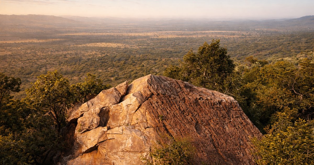
The mountain is closer than you think.
Shelter Rock is located in the heart of the Magaliesberg, approximately 60–90 minutes from Johannesburg, Pretoria and the surrounding Gauteng region. Use the map below to plan your journey and please read the important route note before travelling.
Planning a day outdoors? Explore our 8 km hiking trail in the Magaliesberg before your visit.
- MagaliesbergSouth Africa
- 60–90 minFrom Jhb & Pta
- Short dirt roadFinal approach
- Brown signsFollow Shelter Rock
- ReceptionReport on arrival
Everything you need to know before you drive.
Location
Magaliesberg, South Africa, within easy reach of Hartbeespoort.
Travel time
Approximately 60–90 minutes from Johannesburg & Pretoria.
Final approach
A short dirt road after the Shelter Rock turn-off.
Brown tourism signs
Follow the Shelter Rock tourism signs from the R560.
On arrival
All visitors report to reception before their activity.
Please avoid the R401 route.
Some navigation apps incorrectly direct visitors from the R560 onto the R401. Please do not follow this route.
Instead, remain on the R560 until you reach the brown Shelter Rock tourism signs. Turn towards the mountain at the Shelter Rock sign and follow the shorter dirt-road approach to the property.
Remember
Stay on the R560 until you see the brown Shelter Rock tourism signs. This is the easiest and quickest way to reach us.
Interactive map.
Use the map below to plan your route. If you are unsure at any point, contact us before leaving the main road — we are happy to guide you the rest of the way.
Shelter Rock is an easy day trip from most of Gauteng.
| Departure | Approximate time |
|---|---|
| Hartbeespoort | 20–30 min |
| Pretoria | 60–90 min |
| Centurion | 60–75 min |
| Sandton | 75–90 min |
| Johannesburg | 75–100 min |
| Rustenburg | 60–75 min |
Travel times vary depending on traffic and your exact departure point.
The last stretch is a short dirt road towards the mountain.
The last section of the drive follows a short dirt road leading towards the mountain. Drive slowly, particularly after rain, and continue following the brown Shelter Rock tourism signs.
Park
Park in the designated parking area.
Reception
Report to reception on arrival.
Guide
Your guide or host will direct you to your activity.
A quick checklist before you set off.
- Booking confirmed
- Google Maps route opened
- Water packed
- Comfortable outdoor clothing
- Closed shoes
- Sunscreen
- Camera
- Allow enough time to arrive before your activity begins
Questions we're often asked.
Can't find what you're looking for? WhatsApp us — it's the fastest way to reach us.
Should I follow Google Maps?
Yes, but double-check that your route stays on the R560 until you reach the Shelter Rock turn-off.
Is there a dirt road?
Yes. The final approach follows a short dirt road. Please avoid the much longer R401 route.
Is parking available?
Yes. Free visitor parking is available on the property.
Can I arrive without a booking?
Some day visitors can be accommodated, but many activities require advance booking. We recommend contacting us before travelling.
What happens if it has rained?
The access road remains usable in most conditions, but please contact us if there has been unusually heavy rainfall.
If you're unsure about the route, contact us.
If you think you may be lost, please contact us before leaving the main road. We'll be happy to guide you the rest of the way.